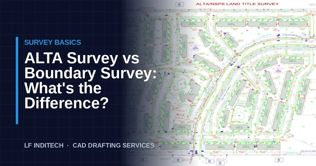
Clients, attorneys and even new survey staff often ask about the difference between an ALTA and a boundary survey. Both establish where a property's lines are, but they are built for different purposes, follow different standards and involve very different amounts of work. This guide explains how they compare and when each one is required.
What Is a Boundary Survey?
A boundary survey locates and marks the legal limits of a parcel. The surveyor researches deeds and recorded plats, finds existing monuments in the field, resolves the boundary based on the evidence, sets missing corners, and produces a drawing showing the property lines, bearings and distances, monuments, easements of record and the main improvements.
Boundary surveys are governed by each state's minimum technical standards, so the required content varies from state to state. They are typically ordered for:
- Residential purchases and refinances (often as a mortgage or lot survey)
- Fence, wall and building permits
- Resolving disputes or encroachment questions with neighbours
- Splitting or combining lots
What Is an ALTA/NSPS Land Title Survey?
An ALTA/NSPS Land Title Survey is a boundary survey performed to a national standard: the Minimum Standard Detail Requirements jointly adopted by the American Land Title Association (ALTA) and the National Society of Professional Surveyors (NSPS). The standards are revised periodically, so always confirm which version the client or lender specifies.
ALTA surveys exist to support title insurance and lending, mainly in commercial real estate. Because the requirements are national, a lender in one state can rely on a survey from another state and know what it contains.
The Key Differences
| Feature | Boundary survey | ALTA/NSPS survey |
|---|---|---|
| Standard | State minimum technical standards | National ALTA/NSPS Minimum Standard Detail Requirements, plus state law |
| Typical use | Residential sales, permits, disputes | Commercial acquisitions, loans, title insurance |
| Title commitment review | Not usually required | Required: Schedule B exceptions are reviewed and plottable items shown |
| Optional items | Not standardised | Table A items chosen by the client (flood zone, zoning, parking, utilities and more) |
| Certification | Usually to the owner or buyer | To the parties named by the client: buyer, lender, title company |
| Drafting effort | Lower: often a single sheet | Higher: notes, exception tables and often several sheets |
| Cost and time | Lower and faster | Higher and slower |
Title Commitment and Schedule B Exceptions
The biggest practical difference is the title work. For an ALTA survey, the surveyor receives the title commitment and copies of the recorded documents listed as exceptions in Schedule B. Each easement or restriction is reviewed; anything that can be plotted is drawn on the survey, and the survey notes state whether each item affects the property. That review is a large part of the time an ALTA takes, both in the field and in drafting.
Table A Items
Table A is a menu of optional items the client can add to the scope. Common examples include the flood zone classification, land area, contours, zoning setbacks and restrictions, building dimensions and height, parking counts, utilities and the names of adjoining owners. Each item adds field work, notes or linework, which is why two ALTA surveys of similar sites can differ greatly in cost.
Which Survey Do You Need?
- Buying or refinancing a house: usually a boundary or mortgage survey.
- Building a fence or addition: a boundary survey, sometimes with a topographic component.
- Buying, financing or developing commercial property: usually an ALTA/NSPS survey, because the lender and title insurer will ask for one.
When in doubt, ask the lender or title company what they need before ordering, so the scope (including Table A items) is right the first time.
What This Means for Surveying Firms
For survey firms, ALTA surveys are profitable but drafting-heavy. Exception plotting, Table A notes and multi-sheet layouts can take longer than the field work, often right before a closing deadline. Many firms outsource this production work so their licensed surveyors can focus on boundary resolution and final review. Our ALTA survey drafting services are built for exactly that, and our survey drafting services for land surveyors cover boundary and mortgage work. Want to see the quality first? Request a free sample drawing.
Frequently Asked Questions
Is an ALTA survey a type of boundary survey?
Yes, in the sense that every ALTA/NSPS survey establishes the boundary. But it adds a nationally standardised set of requirements, title document review and optional Table A items, so it is a much more detailed product than a standard boundary survey.
When does a lender require an ALTA survey?
Lenders and title insurers commonly require an ALTA/NSPS survey for commercial property loans and acquisitions, because it supports extended title insurance coverage. Residential purchases usually need only a boundary or mortgage survey.
Why does an ALTA survey cost more than a boundary survey?
Because it involves more work: reviewing and plotting the title commitment exceptions, collecting and drafting the Table A items the client orders, more detailed improvement and utility information, and certification to multiple parties.