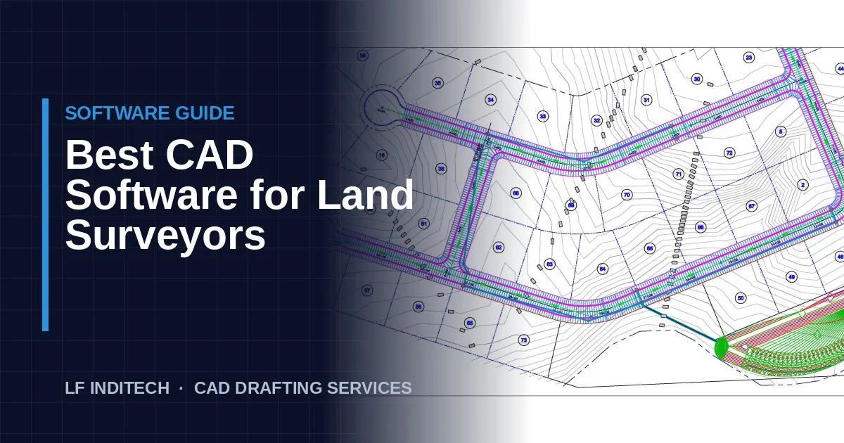
There is no single best CAD software for land surveyors. The right choice depends on your field equipment, the deliverables you produce, what your clients and agencies require, and what your staff already know. This guide compares the main options and explains how to choose.
What Survey Software Needs to Do
Before comparing products, list what your workflow needs. Most survey firms need software that can:
- Import points from data collectors and process field codes into linework
- Run coordinate geometry (COGO), traverses and adjustments
- Build surfaces and contours for topographic work
- Label bearings, distances, curves and areas automatically
- Produce plats and sheet layouts to state and county standards
- Exchange files with engineers, architects and agencies
The Main Options
Autodesk Civil 3D
Civil 3D is built on AutoCAD and adds survey databases, description keys, figure prefixes, surfaces, parcels, alignments and dynamic labels. Its biggest advantage is that engineers use it too, so a survey base can flow straight into site design. The trade-off is complexity: Civil 3D has a steep learning curve and needs a well-built template to be efficient.
Carlson Survey
Carlson Survey is designed specifically for surveyors and is known for strong COGO, field-to-finish and plat production tools. It can run on top of AutoCAD or with its own built-in CAD engine. Many surveyors find it faster for day-to-day boundary and topographic work than Civil 3D.
Bentley MicroStation and OpenRoads
MicroStation, with OpenRoads for civil and survey work, is standard at many state departments of transportation. If you do DOT or similar public infrastructure work, you may be required to deliver in DGN format to agency standards.
Manufacturer office software
Packages such as Trimble Business Center, Leica Infinity and Topcon's office software are excellent for processing GNSS and total station data, adjustments and point clouds from their own instruments. Most firms use them to process field data and then draft in Civil 3D or Carlson.
Point cloud tools
For laser scanning and drone work, tools such as Autodesk ReCap and specialised point cloud extraction software turn millions of points into usable linework and surfaces. These complement rather than replace your main CAD platform.
Quick Comparison
| Software | Best for | Consider |
|---|---|---|
| Civil 3D | Firms working closely with civil engineers; topo and land development | Steep learning curve; template setup matters |
| Carlson Survey | Boundary, plats and fast field-to-finish | Engineers you work with may use Civil 3D |
| MicroStation / OpenRoads | DOT and agency work | Required DGN standards can be strict |
| Manufacturer software | Processing data from that brand's instruments | Usually paired with a CAD platform for drafting |
How to Choose
- Start with your deliverables. If you mostly produce boundary surveys and plats, survey-focused tools shine. If you hand bases to engineers, Civil 3D compatibility matters.
- Check client and agency requirements. Some agencies mandate specific formats.
- Consider your field equipment. Make sure point and code imports work smoothly with your data collectors.
- Think about hiring. Choose software that experienced staff in your area already know.
- Invest in a template. Whatever you choose, a good template with your layers, styles and description keys is what makes the software fast.
Software and Outsourcing
If you outsource drafting, make sure your partner works natively in your platform. Our team drafts in Civil 3D, Carlson, AutoCAD and MicroStation, using your template so drawings come back ready to use. Learn more about our land survey drafting services, or send a project for a free sample drawing.
Frequently Asked Questions
What CAD software do most land surveyors use?
In the US, Autodesk Civil 3D and Carlson Survey are the most widely used drafting platforms in private survey firms, with MicroStation common on DOT and some government work. Many firms also use their GPS or total station manufacturer's office software to process field data.
Is AutoCAD enough for land surveying?
Plain AutoCAD can draft survey drawings, but it lacks survey tools such as point databases, description keys, surfaces and COGO routines. Most firms use Civil 3D or Carlson on top of, or instead of, plain AutoCAD.
Does the software my drafting partner uses matter?
Yes. Your outsourcing partner should work natively in the same platform you use so drawings come back with your styles, layers and objects intact and need no conversion.